
Marly - Villarsel-sur-Marly - Tentlingen (Stersmühle) - Marly
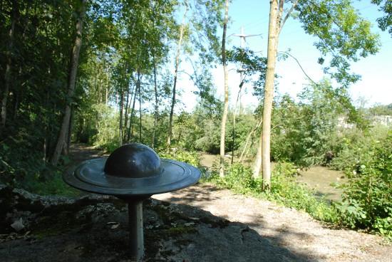
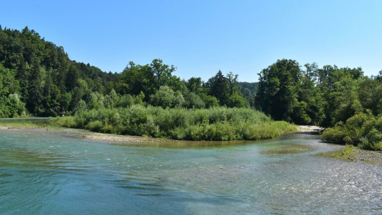
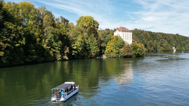
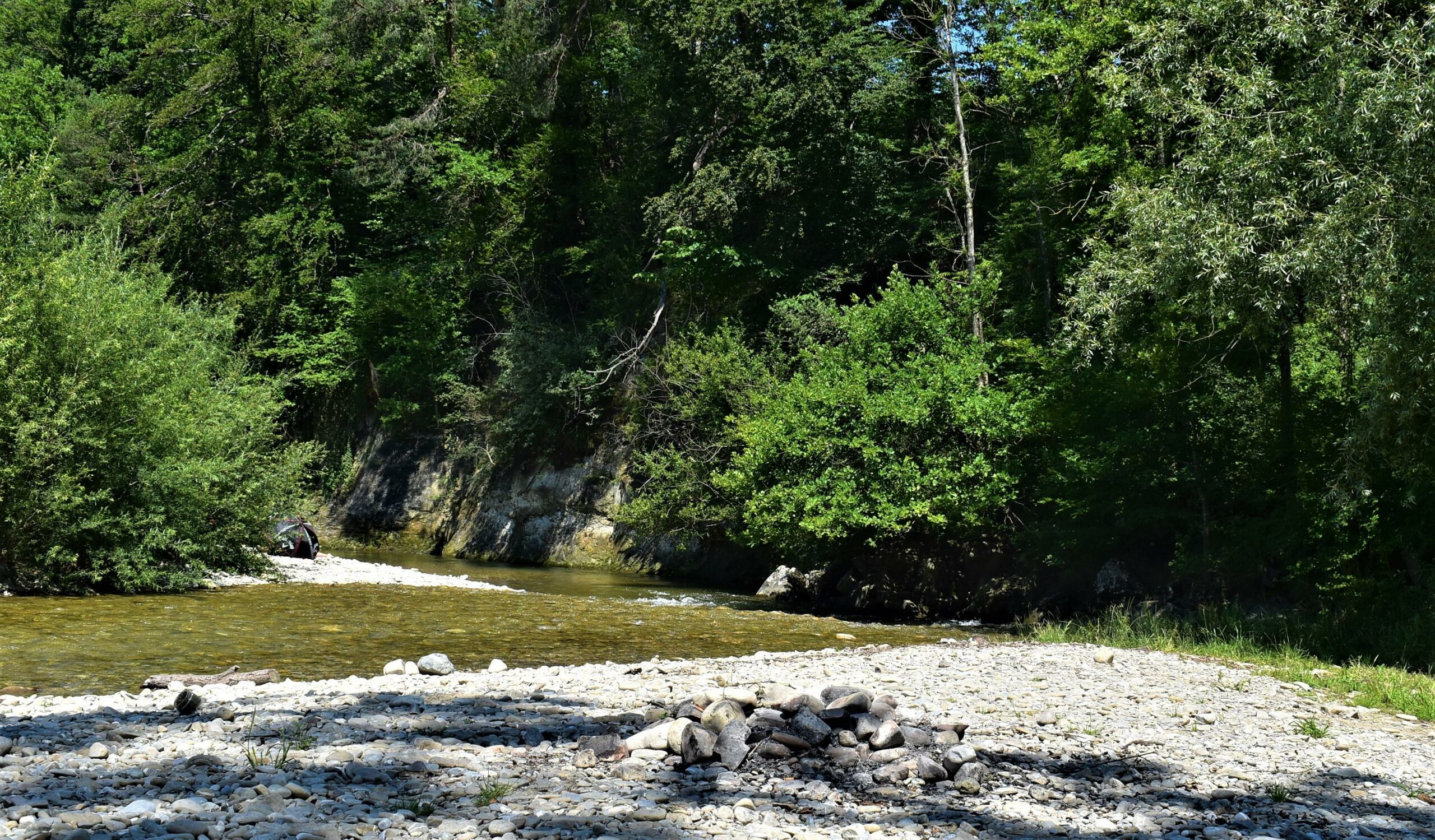
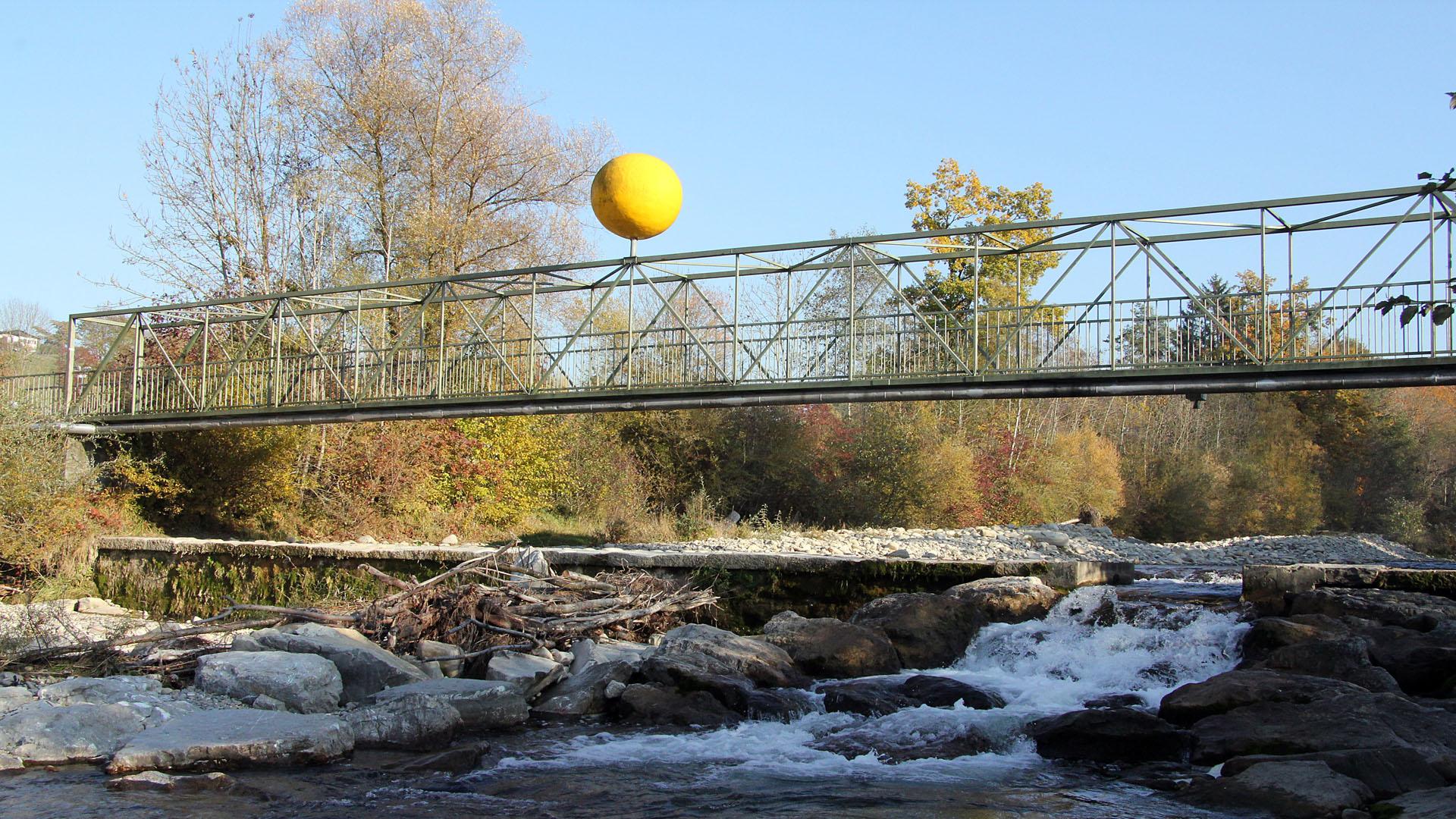
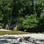
From the eastern end of Carbaroche Park, take the metal footbridge over La Gérine. Then turn right up the river. Continue along a winding path in a forest area made up of undergrowth and edges (Vieille Rossmatte). On this trail, you will discover several types of atmosphere: the meanders of La Gérine; the freshness of the undergrowth, areas populated by deciduous and coniferous trees; an omnipresent fauna both in the river beds and on the banks and in the forest areas. Moreover, if you keep a lookout, you will probably be able to find some animals that have come to quench their thirst. Further on, through the few portholes in the vegetation, you will gradually discover the relief of the Pre-Alps and their steep slopes, subdividing the space between earth and sky. At the end of this forest and its undergrowth, you will take the botanical path of Lehrpfad in Tentlingen. There, a particularly diverse flora will accompany you, it will complete the play of shapes and colours adding fragrant notes to your itinerary. At the end of the trail, the route continues along an asphalt road around Stersmühle. It will take you through a curve to cross the Ärgera (Gerin in German). Afterwards. After the bridge, turn right onto a forest road that runs alongside the river. This section will take you through an alluvial zone consisting of meadows and undergrowth. Finally, at a forest area at point 652 turn left up the Nesslerabach, then follow a tarmac road before crossing the river on the right via a bridge.
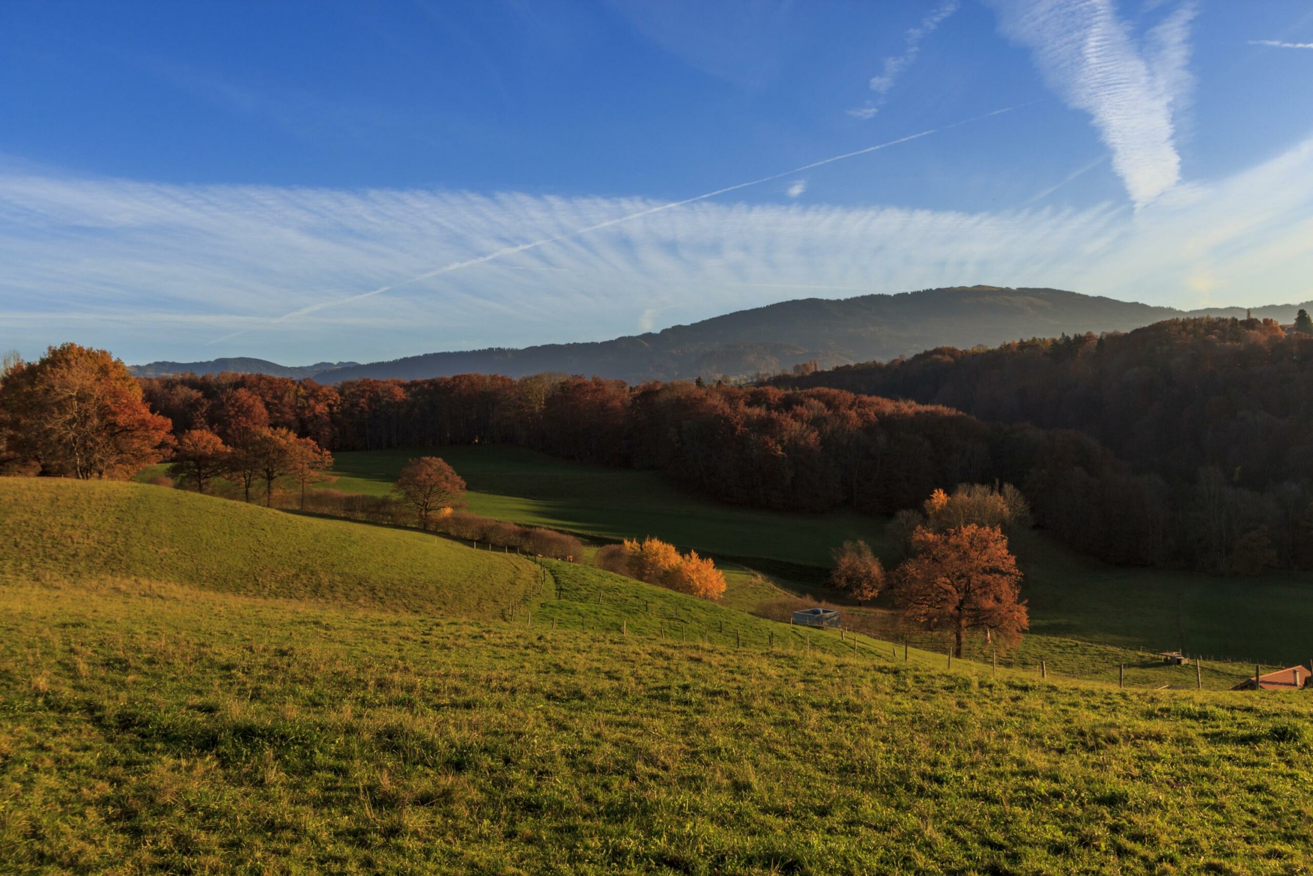
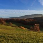
Along the way you will find rest areas with benches, tables and fireplaces. By a stony path take the high road in the direction of La Rochette. This path will take you to the edge of the forest before taking a winding country lane through the fields where the hamlets of La Commanderie and Villarsel / Marly are spread out.
These hamlets are generally made up of peasant houses, established by an architecture and a layout devoted to agricultural activity. In addition to this type of building, a granary is generally established there and a chapel completes the vernacular establishment of these hamlets by confirming the piety of their inhabitants. Recently, these hamlets have recently acquired new buildings, notably by the construction of family villas. At the end of the hamlet of Villarsel / Marly, turn right along a path going down towards the forest of Noutes. This itinerary continues by a path in the direction of La Crausa. At the end of the path, turn right towards the Carbaroche park.
Information
Fribourg Tourisme et Région
Place Jean-Tinguely 1
Case postale 448
1700 Fribourg
Properties of the itinerarie
Type of activity: Sports
Difficulty: Easy
Duration: 02:30
Distance: 8 km
Ascent/Descent: +349m / -349m
Altitude min./max.: 618m / 737m